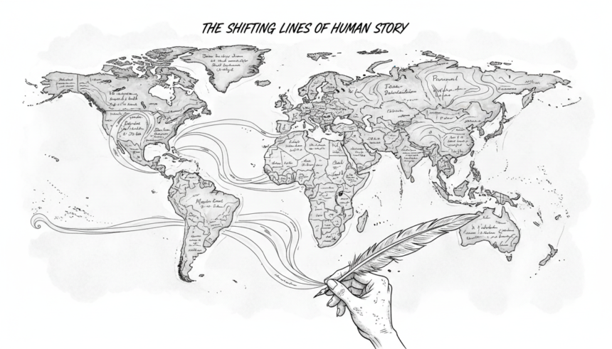
Borders are often described as simple lines on a map.
Yet beneath those lines lies a much longer and quieter flow of time.
Japan’s remote islands—those in Okinawa and the Northern Territories—are not merely “territorial issues.”
They are spaces where the narratives of great powers intersect with the lived histories of the people who inhabit them.
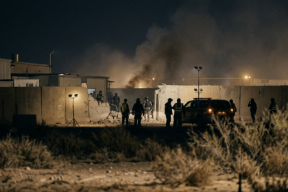
Even when a border appears as a thin line on a map, it contains memories of daily life, the disruptions of war, postwar reconstruction, and the quiet continuity of the present.
Today’s borders are not accidents.
They are shaped by war, treaties, occupation, international law, and the shifting power of states.
The international order is not built on how far back one can reach into history, but on the moment when the international community reached consensus.
If that reference point is ever to be revised, it must be done through a formal and transparent international process.
Reaching back selectively into history and expanding territory through faits accomplis undermines the very foundation of international order.
To look at Japan’s islands is to see the structure of borders themselves—
not as lines, but as layered stories shaped by history, law, and human lives.
👉 The full article is available exclusively to Medium.
Read more here:
The Shape of Borders Revealed by Japan’s Islands